What can you do with DroneDB?
Everything you need to manage, analyze, and share your geospatial data securely in the cloud.
Upload Any Format
Drag and drop your geospatial files. We support all major formats including raster images, point clouds (LAZ/LAS), 3D meshes (OBJ, glTF), and vector files.
- Orthophotos (GeoTIFF, COG)
- Point clouds (LAZ, LAS, PLY)
- 3D Models (OBJ, PLY, glTF/GLB)
- Vector files (GeoJSON/TopoJSON, SHP/SHZ, KML/KMZ, DWG, GML, GPKG)
- 360° Panoramas
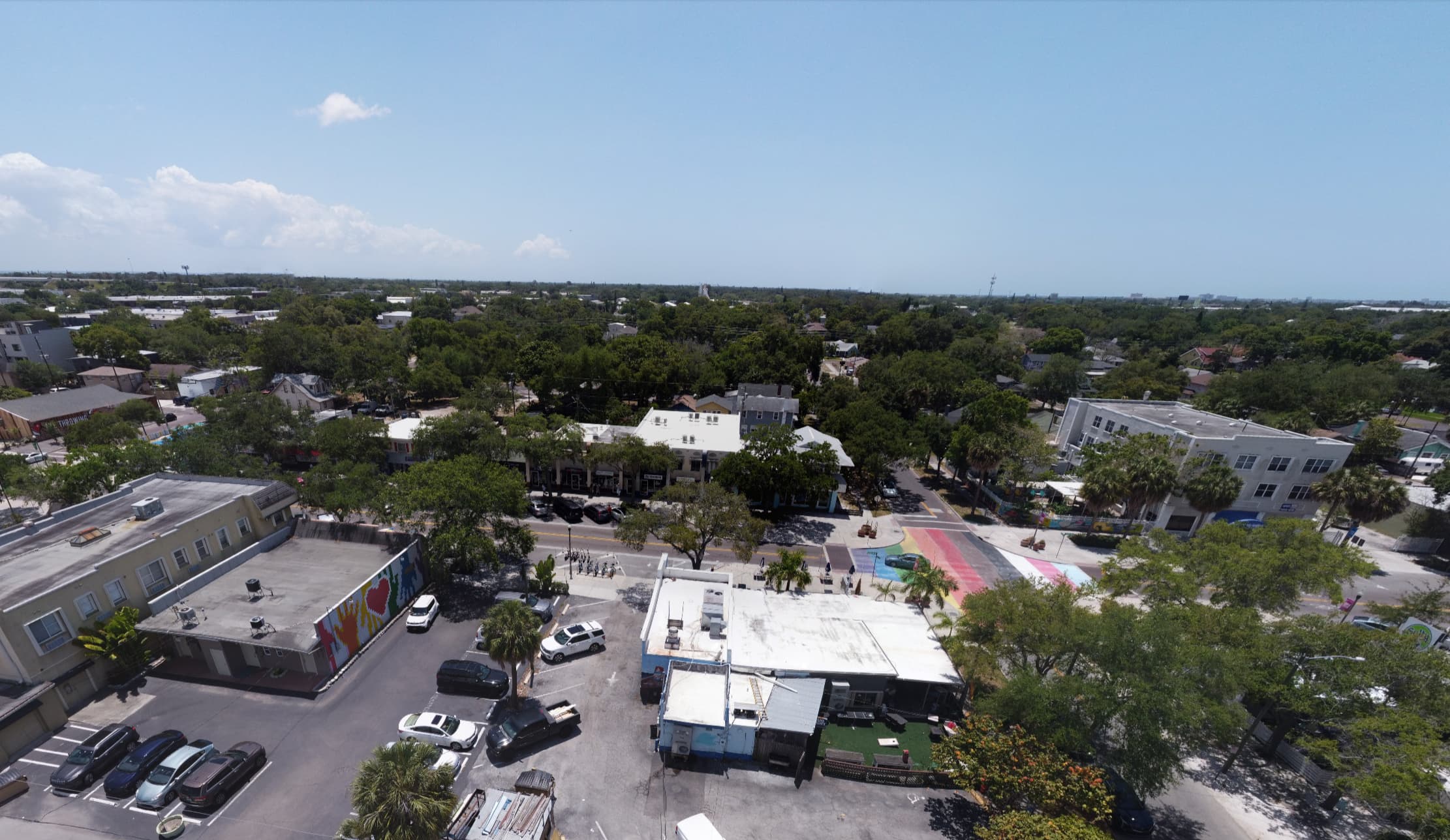
- Geotagged images with GPS
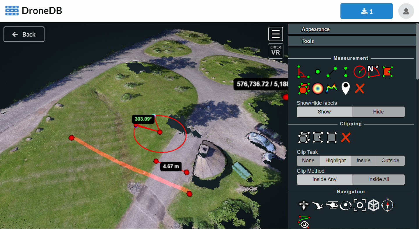
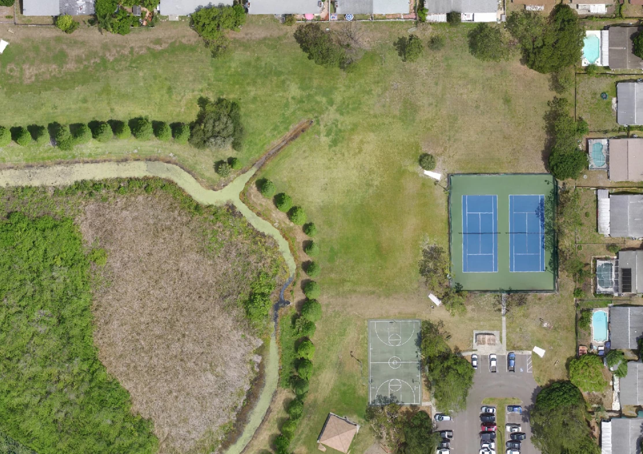
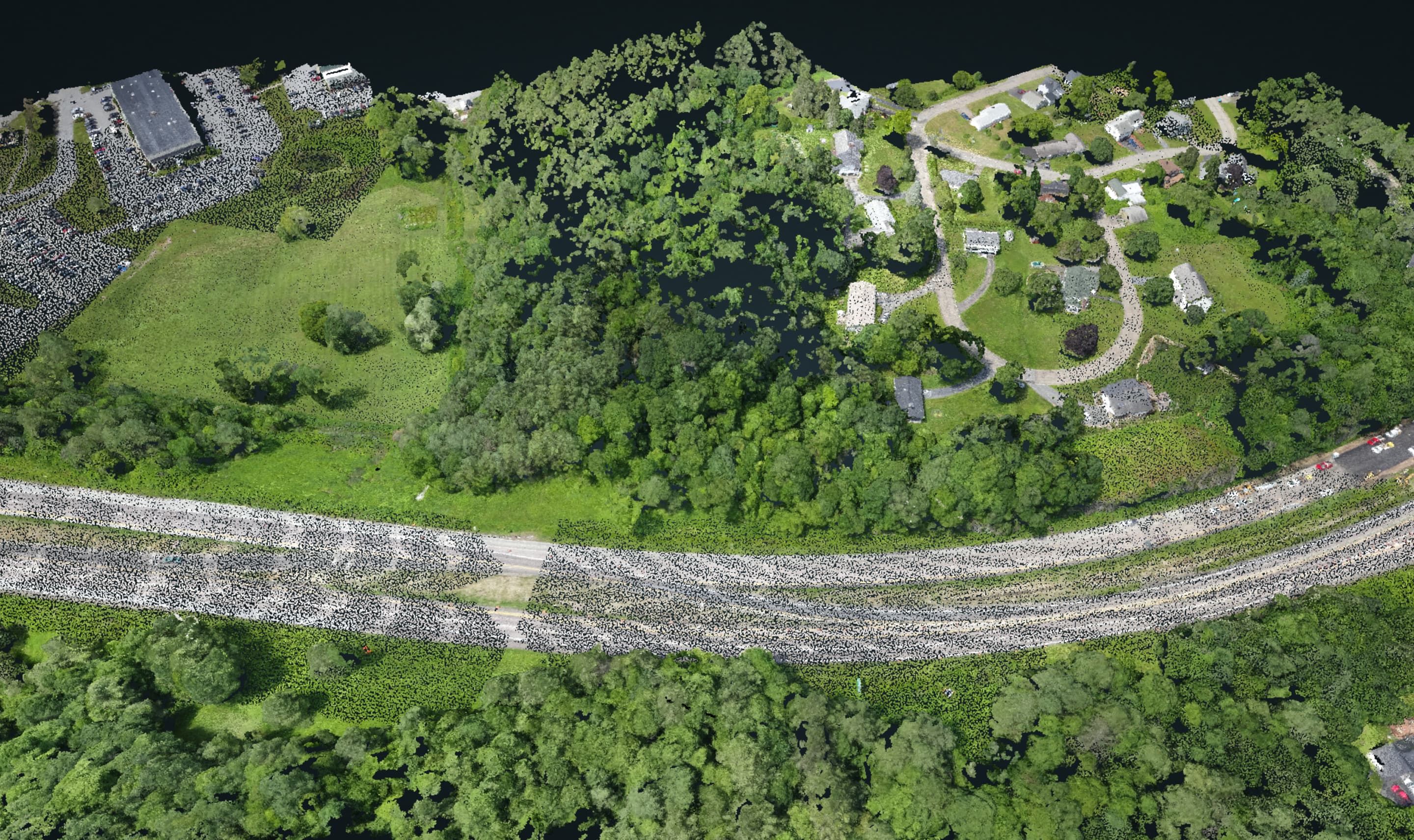
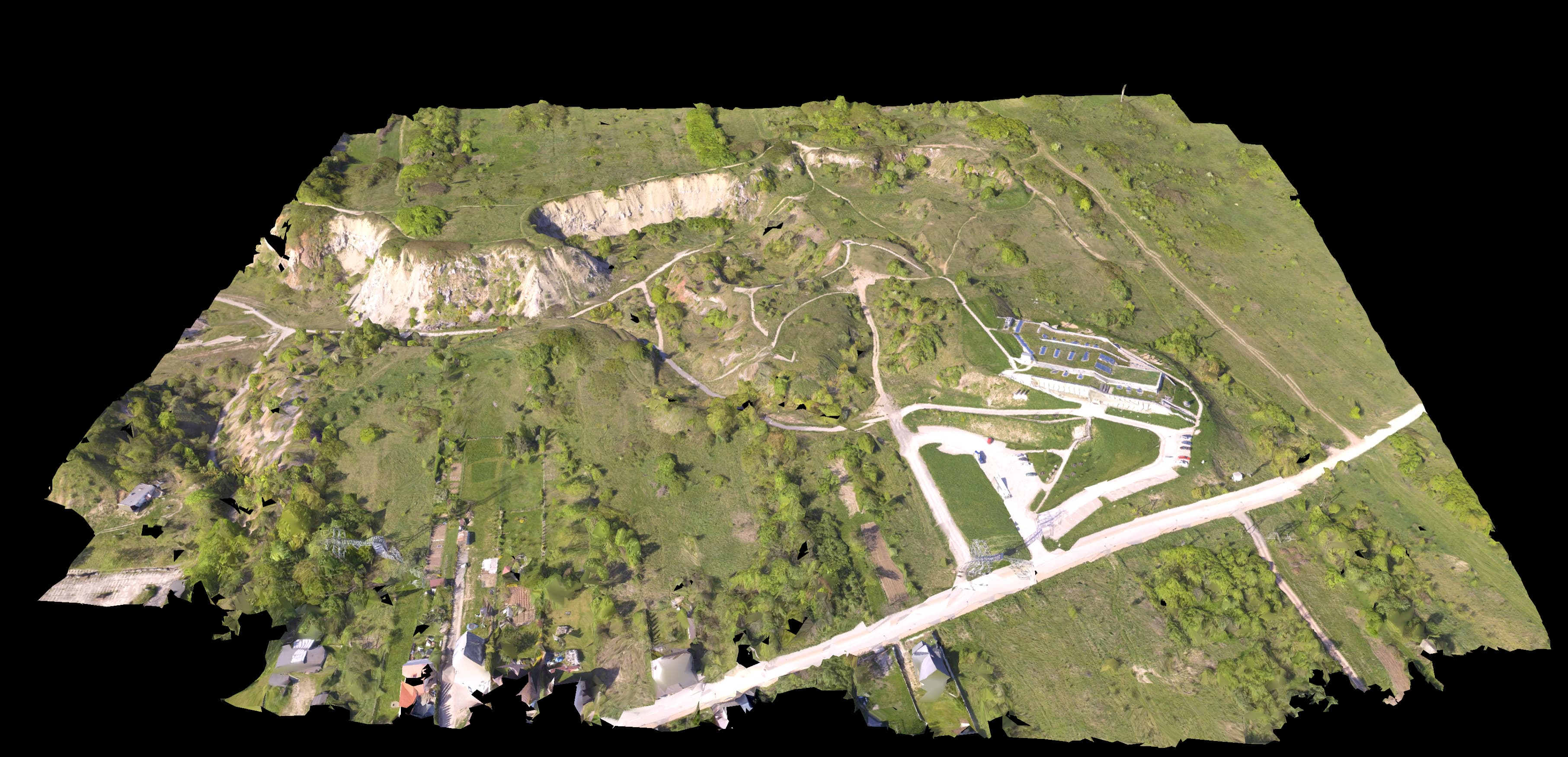
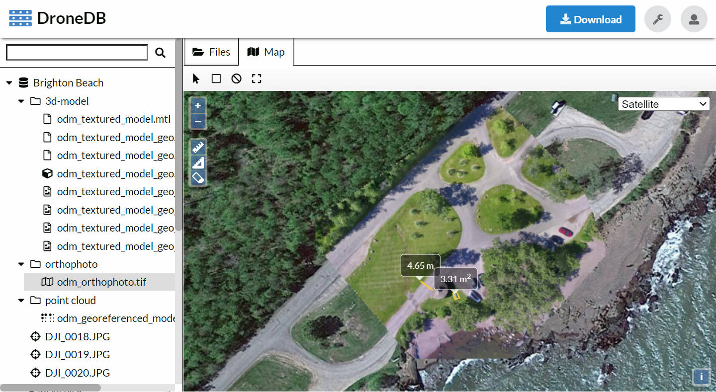
Interactive Visualization
Explore your data with powerful web-based viewers. No plugins required — everything works in your browser.
- 2D map viewer for orthophotos
- 3D point cloud explorer
- Textured 3D model viewer
- 360° panorama viewer
- Measurement tools
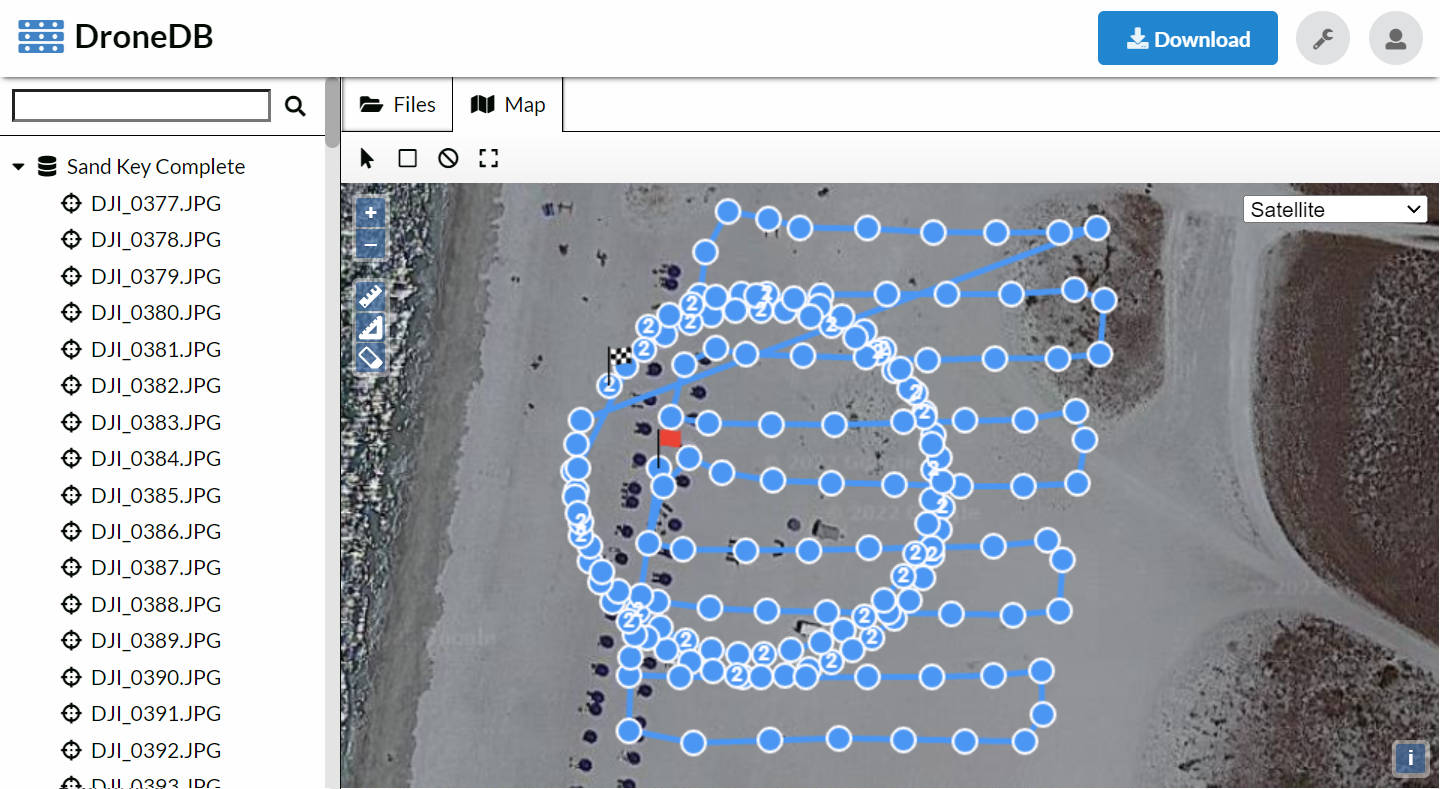
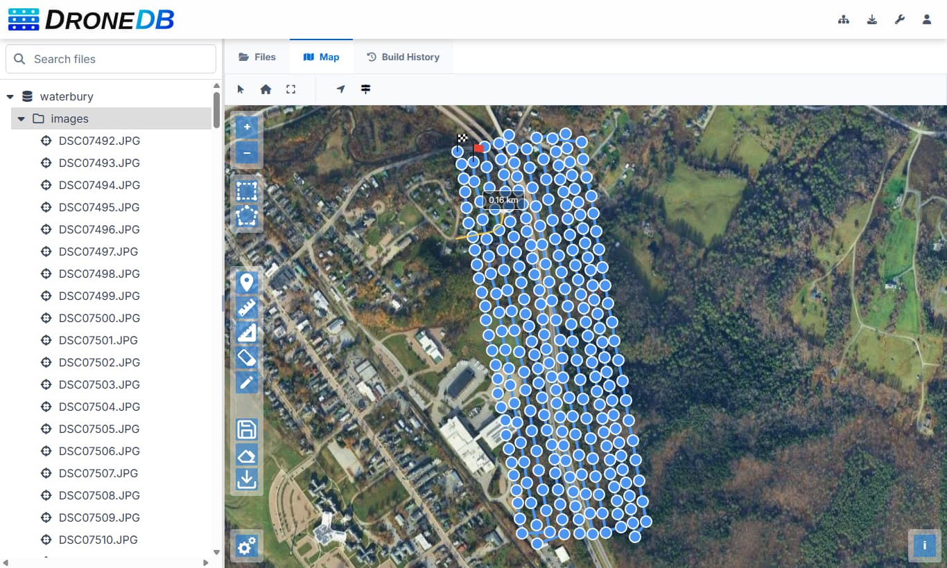
Analyze Your Data
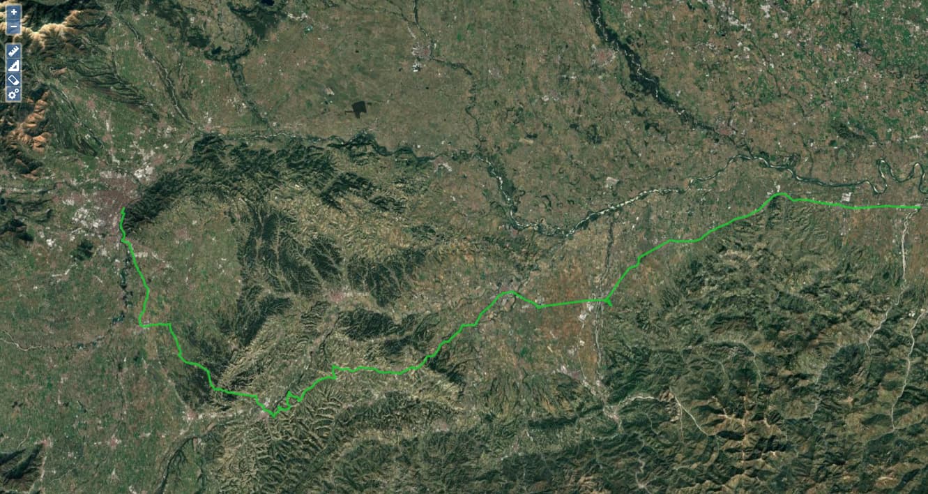
Extract insights from your geospatial data. View flight paths, inspect image metadata, and partition datasets for efficient workflows.
- Flight path visualization
- EXIF metadata extraction
- Dataset partitioning
- STAC catalog support
- Geospatial indexing
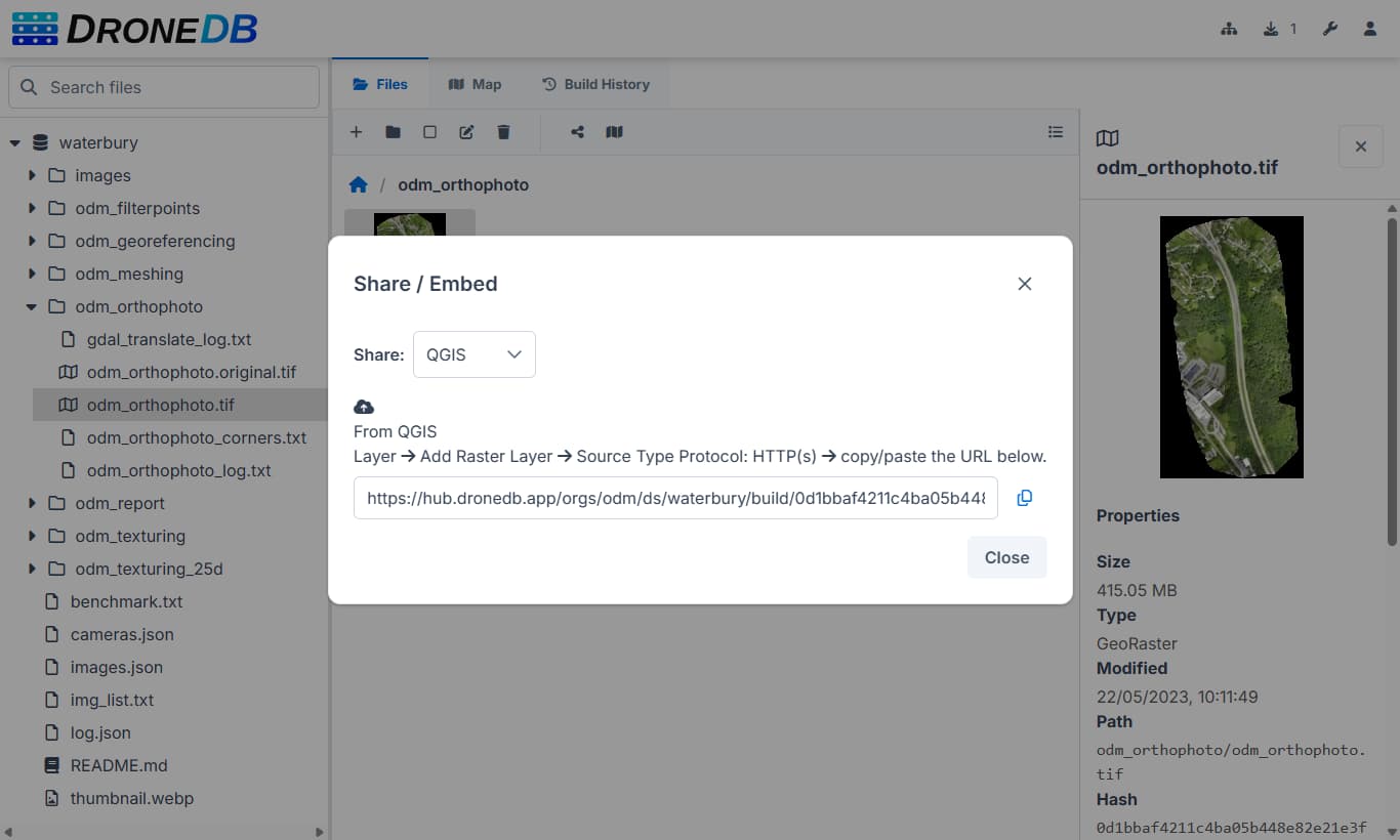
Share Instantly
Generate shareable links with one click. Control access with organizations and permissions. Make your work public or keep it private.